Continents Worksheets


About Our Continents Worksheets
The world is a big place, and learning about the continents helps students make sense of it all. Each continent has its own landscapes, climates, cultures, animals, and fascinating landmarks that make it unique. These worksheets take students on a journey across all seven continents, helping them discover what makes each one special. From the icy wilderness of Antarctica to the bustling cities of Asia, there’s always something new to explore.
This collection combines map skills, geography practice, and engaging reading activities to help students build a strong understanding of the world’s continents. Students will label maps, identify countries, learn about famous landmarks, explore ecosystems, and discover how people live in different regions of the world. Along the way, they’ll strengthen their geography knowledge while developing a greater appreciation for the diversity of our planet. The activities make learning about global geography both fun and meaningful.
One of the best things about studying continents is that it helps students see how connected the world really is. While each continent has its own unique characteristics, they all contribute to the rich diversity of life on Earth. These worksheets encourage curiosity, global awareness, and a deeper understanding of the places and people that share our planet. Every activity helps students become more informed and thoughtful global citizens.
About Each Worksheet
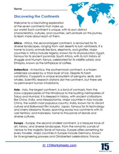
Continent Conundrum
This worksheet gives students a whirlwind tour of the world’s seven continents. They learn about different climates, landscapes, cultures, and natural wonders while comparing what makes each continent unique. It’s a fantastic introduction to global geography.
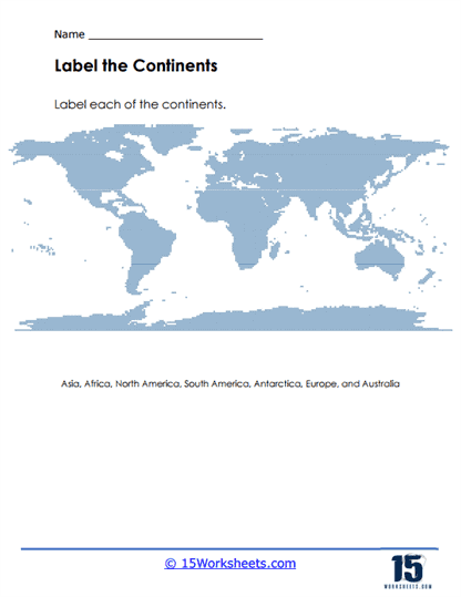
Continental Quest
Students put their map skills to work by labeling the seven continents on a world map. The activity helps them become familiar with each continent’s location and shape. It’s a simple but important geography skill-builder.
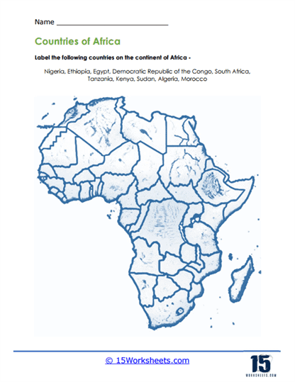
Mapping Majesty
Africa takes center stage as students label some of the continent’s largest and most well-known countries. The activity helps learners become more comfortable reading maps and identifying locations. It’s a great way to build confidence in world geography.
Exploring a Land of Diversity
Students discover the incredible variety found across Africa, from deserts and rainforests to mountains and wildlife. The reading also highlights Africa’s cultural richness and economic importance. It’s a wonderful overview of one of the world’s most diverse continents.
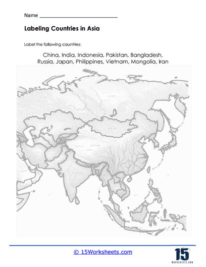
Contouring Continents
This worksheet challenges students to identify and label major countries throughout Asia. As they work with the map, they strengthen their understanding of the world’s largest continent. It’s excellent practice for developing map-reading skills.
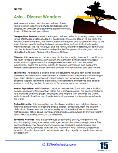
Adventure Across Asia
Students explore Asia’s incredible range of landscapes, climates, cultures, and ecosystems. From towering mountains to bustling cities, the worksheet showcases the continent’s remarkable diversity. It helps students understand why Asia plays such an important role in the world.
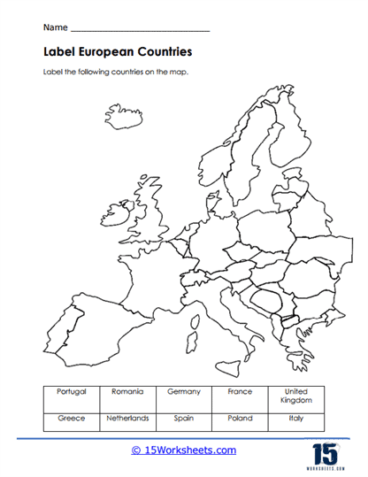
Euro-Explorer
This map activity asks students to locate and label important countries across Europe. By matching names with locations, they become more familiar with the continent’s political geography. It turns map practice into an engaging challenge.
The Tapestry of Europe
Students take a closer look at Europe’s landscapes, cultures, history, and economies. The reading highlights everything from snowy mountains to Mediterranean coastlines. It’s a great way to see how much variety exists within a relatively small continent.
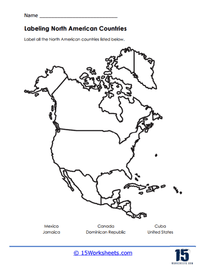
Continent Connection
This worksheet focuses on North America and asks students to label countries throughout the continent. The activity includes both mainland nations and island countries, helping students build a more complete understanding of the region. It’s excellent map practice with a real-world focus.
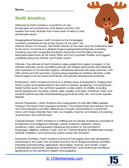
Exploring the Vastness
Students learn about North America’s diverse geography, climates, ecosystems, and cultures. The reading covers everything from Arctic regions to major cities and important economic activities. It provides a well-rounded introduction to the continent.
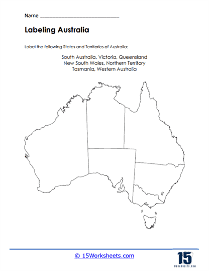
Down Under Discovery
Students label Australia’s states and territories on a blank map. The activity strengthens geographic knowledge while helping learners become familiar with the country’s political divisions. It’s a fun way to explore the Land Down Under.
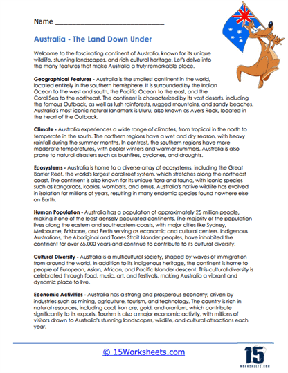
Adventures in Australia
This worksheet introduces students to Australia’s unique wildlife, famous landmarks, diverse climates, and rich cultural heritage. From the Great Barrier Reef to the Outback, there’s plenty to discover. It’s an engaging overview of one of the world’s most distinctive continents.
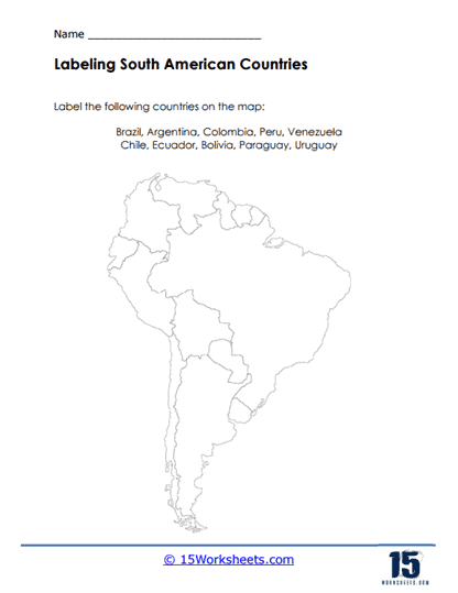
South America’s Tapestry
Students practice labeling countries throughout South America while becoming more familiar with the continent’s geography. The map activity strengthens location skills and country recognition. It’s a valuable exercise for building geographic confidence.
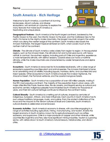
The Splendor of South America
Students explore South America’s rainforests, mountains, ecosystems, and cultural diversity. The reading highlights both natural wonders and the people who call the continent home. It paints a vivid picture of a fascinating region.
Frozen Frontiers
This worksheet takes students to Antarctica, the coldest and most remote continent on Earth. They learn about its extreme climate, unique wildlife, and importance to scientific research. It’s an exciting look at one of the most unusual places on the planet.
What is a Continent?
A continent is a large, continuous landmass that is typically distinguished by geographic, cultural, and geological features. The Earth’s surface is divided into seven continents, each with its own unique characteristics, landscapes, and cultural diversity. Here, I’ll name each continent and provide a brief overview of its key features:
Africa
Africa is the second-largest continent, covering approximately 20% of the Earth’s land area. It is characterized by diverse ecosystems, including savannas, deserts, rainforests, and mountains. Africa is home to a rich cultural heritage, with thousands of languages spoken and a wide variety of ethnic groups. Major landmarks include the Sahara Desert, the Nile River, Mount Kilimanjaro, and the Serengeti National Park.
Antarctica
Antarctica is the southernmost continent and the fifth-largest, covering about 9% of the Earth’s land area. It is the coldest, windiest, and driest continent, largely covered by ice sheets and glaciers. Despite its harsh climate, Antarctica supports diverse wildlife, including penguins, seals, and seabirds. Antarctica is primarily used for scientific research, with numerous research stations operated by various countries.
Asia
Asia is the largest and most populous continent, spanning from the Arctic Ocean in the north to the Indian Ocean in the south. It is known for its vast landscapes, including the Himalayas, the Gobi Desert, the Siberian tundra, and the tropical rainforests of Southeast Asia. Asia is home to a multitude of cultures, languages, and religions, with significant historical and economic importance. Major landmarks include Mount Everest, the Great Wall of China, the Taj Mahal, and the cities of Tokyo, Beijing, and Mumbai.
Europe
Europe is the second-smallest continent in terms of land area but one of the most densely populated. It is known for its rich history, diverse cultures, and architectural landmarks. Europe is characterized by its varied landscapes, including mountains (e.g., the Alps), plains, rivers, and coastlines. Major landmarks include the Eiffel Tower, the Colosseum, the Acropolis, and cultural centers such as Paris, Rome, London, and Berlin.
North America
North America is the third-largest continent, bordered by the Arctic Ocean to the north, the Atlantic Ocean to the east, and the Pacific Ocean to the west. It is characterized by diverse landscapes, including mountains (e.g., the Rocky Mountains), forests, deserts, and coastlines. North America is home to a range of cultures, languages, and indigenous peoples, as well as significant urban centers. Major landmarks include the Grand Canyon, Niagara Falls, Yellowstone National Park, and cities such as New York, Los Angeles, and Toronto.
South America
South America is the fourth-largest continent, bordered by the Atlantic Ocean to the east and the Pacific Ocean to the west. It is known for its diverse ecosystems, including the Amazon rainforest, the Andes Mountains, the Atacama Desert, and the Galápagos Islands. South America is culturally rich, with a blend of indigenous, European, and African influences. Major landmarks include Machu Picchu, Christ the Redeemer, Angel Falls, and cities such as Rio de Janeiro, Buenos Aires, and Lima.
Australia (Oceania)
Australia, often considered both a continent and a country, is the smallest and driest inhabited continent. It is characterized by its unique wildlife, including marsupials such as kangaroos and koalas, and diverse ecosystems such as the Great Barrier Reef. Australia is culturally diverse, with influences from Indigenous Australian, British, Asian, and other immigrant populations. Major landmarks include Uluru (Ayers Rock), the Great Barrier Reef, the Sydney Opera House, and cities such as Sydney, Melbourne, and Brisbane.