Euro-Explorer
Worksheet Description
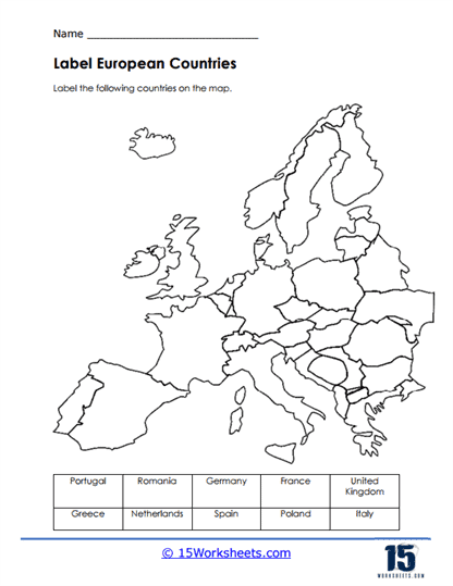
This worksheet is a geographical challenge that invites students to identify and label a selection of European countries on an unmarked map. Providing a clear outline of Europe’s political borders, the worksheet lists countries including Portugal, Romania, Germany, France, the United Kingdom, Greece, the Netherlands, Spain, Poland, and Italy. The task requires students to match each country’s name with its silhouette on the map, testing their knowledge of European geography.
The purpose of this worksheet is to teach students about the locations and shapes of various European countries, enhancing their map-reading skills and spatial awareness. It aims to reinforce students’ ability to recognize countries by their geographical outline and to locate them relative to neighboring nations. The exercise encourages memorization of European political geography and fosters an interest in the diverse cultural and historical backgrounds associated with each nation. Through this activity, students will gain a better appreciation of Europe’s complex mosaic of countries.