South America’s Tapestry
Worksheet Description
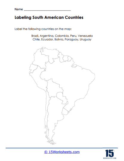
This worksheet is a geographical exercise designed to enhance students’ knowledge of South America by having them label key countries on a blank map. The task focuses on identifying and placing the names of several South American countries, including Brazil, Argentina, Colombia, Peru, Venezuela, Chile, Ecuador, Bolivia, Paraguay, and Uruguay, in their correct locations. Students are presented with an outline map that features the continent’s intricate coastlines and country borders, without any names for guidance. The activity’s clear, simple format makes it an ideal tool for testing and improving geographical literacy.
The worksheet’s purpose is to teach students about the geography of South America, focusing on country recognition and spatial awareness. Through this labeling activity, students will become familiar with the shapes and positions of various South American countries, reinforcing their understanding of the continent’s layout. It aims to build their ability to identify countries on an unmarked map, a foundational skill in geographic education. Additionally, the exercise promotes memorization of country locations, serving as a stepping stone to further studies in South American geography and global awareness.