Contouring Continents
Worksheet Description
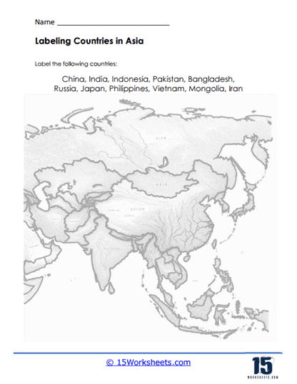
This worksheet presents an engaging activity for students to identify and label key countries within Asia on an unmarked map. Featuring the intricate contours of the largest continent’s geography, the task lists significant nations such as China, India, Indonesia, Pakistan, Bangladesh, Russia, Japan, Philippines, Vietnam, Mongolia, and Iran. Students must use their spatial reasoning and knowledge of Asian geography to correctly place each country’s name in its appropriate location.
The purpose of this worksheet is to reinforce students’ knowledge of Asian geography and improve their ability to recognize countries by their shape and relative location. It aims to enhance map-reading skills, geographic recognition, and memorization of country names and placements. By completing this task, students will deepen their understanding of the political landscape of Asia and its diverse cultural regions. This exercise not only educates but also fosters a greater appreciation for the continent’s role in global geopolitics.