Mountain Maps
Worksheet Description
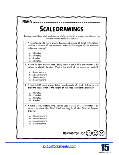
In this worksheet, students solve scale problems involving mountains, dams, roads, and fields. Each question provides a specific scale and model measurement, and students must calculate the actual dimensions, choosing the correct answer from multiple options. The exercises focus on applying proportionality principles and converting different units, such as meters and centimeters. This worksheet is designed to challenge students’ ability to accurately interpret and apply scales in real-life contexts.
This worksheet helps develop strong proportional reasoning skills, critical for tackling geometry and map-related tasks. It enhances measurement skills, as students must be precise in their calculations and unit conversions. Practicing with real-world examples makes math more engaging, showing how scaling applies to areas like geography and architecture. It also promotes critical thinking, as students must carefully analyze each option before selecting the answer.