Southern States
Worksheet Description
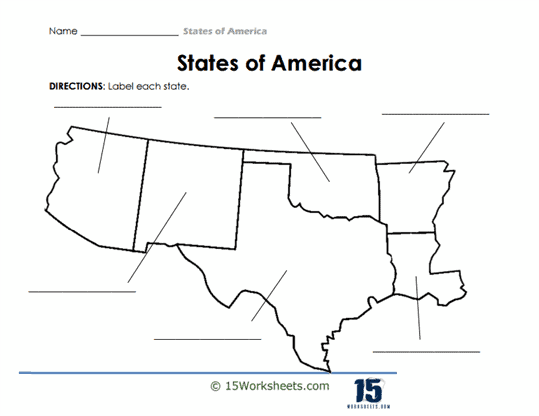
Lines protruding from each state territory make it easier for students to label them without crowding the map’s details. The simplistic design ensures clarity, placing the emphasis on the states’ shapes and relative locations.
The worksheet is designed to bolster students’ knowledge of U.S. geography, specifically focusing on their ability to recognize and recall the shapes and positions of individual states within this particular region. Through the act of labeling, students are encouraged to commit to memory the unique outlines and relationships of these states to one another. Such exercises are foundational in helping learners cultivate a robust geographical understanding of the nation, which can be instrumental for future studies in subjects like history or civic education. Furthermore, tasks of this nature sharpen observational skills and promote precision in identification and recall.