Northeast States
Worksheet Description
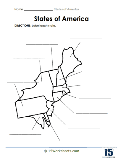
The instructions emphasize the objective of recognizing each state’s geographical shape and position. The visual layout of the worksheet, complete with lines pointing to each state, facilitates easier labeling for the students.
The primary goal of this worksheet is to educate students about U.S. geography, specifically honing their knowledge of state shapes and locations within this region of the country. By labeling the states, learners reinforce their spatial awareness and memory of state names and their corresponding territories. This type of exercise aids students in developing a more comprehensive understanding of the nation’s geography, which can be foundational for more advanced studies in history, politics, and other social sciences. Additionally, such a task cultivates attention to detail, as recognizing states by their outlines alone requires a degree of precision.