Approximate the Area
Worksheet Description
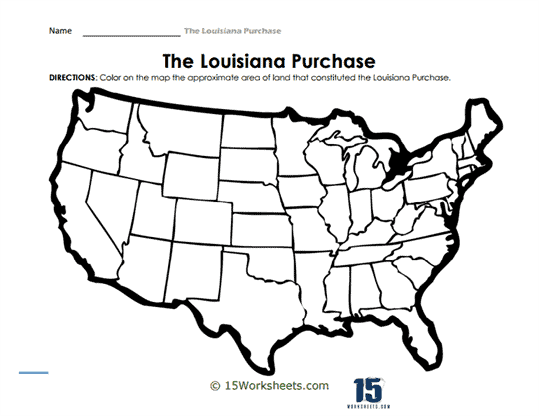
The worksheet presents a clear, uncolored map of the United States with an emphasis on the geographical expanse of the Louisiana Purchase. The map delineates individual states, and the directions prompt the students to color the approximate area that was involved in this historic transaction. While the worksheet itself does not provide the exact boundaries of the purchase, it encourages students to research and determine which territories were included. Above the map, a concise header and clear instructions ensure that the focus remains on the visual and spatial understanding of the Louisiana Purchase within the context of the entire country.
This worksheet seeks to enhance students’ geographical awareness and understanding of the monumental scale of the Louisiana Purchase. By coloring the area themselves, students are engaged in a hands-on activity that visually reinforces the significance of the land acquisition. The exercise also promotes independent research and critical thinking, as students need to determine the territories included in the purchase before shading them. Overall, the worksheet combines visual learning with interactive engagement, ensuring that students grasp the sheer expanse and importance of the Louisiana Purchase in the formation of the United States.