Label the 13 Colonies
Worksheet Description
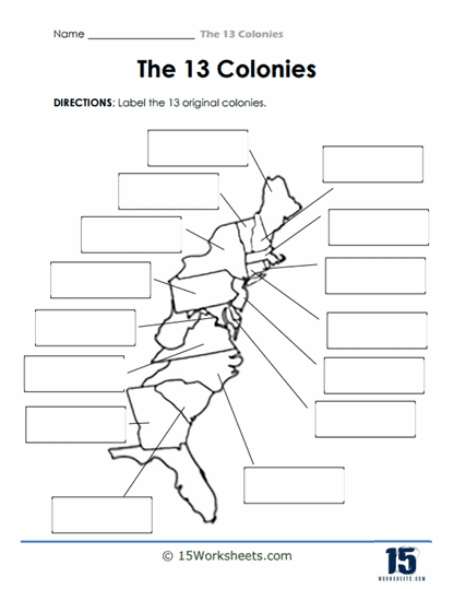
This worksheet presents a map of the eastern coast of what is now the United States, with blank labels pointing to various regions. It is designed for educational purposes, specifically to teach geography related to the early history of the United States. The task set out for students is to identify and label the 13 original colonies that were established by Britain in North America. The layout encourages the recall and placement of each colony in its correct geographical location.
The worksheet aims to teach students about the early European colonization of North America, focusing on the British colonies that would later form the United States. It engages students in a hands-on activity that reinforces their knowledge of the geographic positions of these colonies. By labeling the colonies, students practice memorization and visualization, which are key to understanding the spatial relationships between the colonies. The exercise also lays a foundation for understanding the political and cultural development of the United States from its colonial beginnings. An early look at our Jamestown series.