Cartographic Chronicles
Worksheet Description
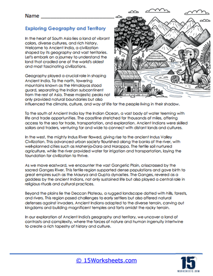
This worksheet guides students through the interplay between geography and the development of civilizations in South Asia. It emphasizes the role of diverse landscapes, from the formidable Himalayas to the fertile Indus Valley, in shaping the history and societal structures of ancient civilizations. The text explores how the Himalayas acted as natural borders while rivers like the Indus and the Ganges provided sustenance and means for transportation and communication. It also describes how access to the Indian Ocean facilitated trade and cultural exchanges with distant lands.
The educational goal of this worksheet is to show students how geography profoundly influences the growth and evolution of societies. It teaches about the strategic advantages provided by natural features and how ancient people adapted to and utilized their environment. The worksheet aims to instill an appreciation of the ancient ingenuity in harnessing the land’s resources, from agriculture to trade routes. Students will learn to connect physical geography with historical developments, enriching their understanding of the past’s complex dynamics.