Civil War Map
Worksheet Description
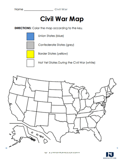
The worksheet is a visual exercise designed to familiarize students with the geographical divisions of the United States during the Civil War. The map presents an outline of the U.S., and students are provided with a color-coded key, categorizing states into Union, Confederate, Border, and territories yet to achieve statehood during the time of the war. The aim is to allow students to visualize the spatial distribution of loyalty and conflict, emphasizing the national divide that underscored the Civil War.
To complete this worksheet successfully, students should start by familiarizing themselves with the provided color key. Once they’ve grasped the color associations, they can begin by identifying and coloring the Union states in blue. Following this, they’ll move on to the Confederate states, marking them in grey. The border states will be colored in yellow, while the territories not yet recognized as states during the Civil War remain uncolored, or white.
The primary objective of this worksheet is to enhance students’ spatial understanding of the American Civil War’s geographic context. By engaging in this coloring activity, learners can visually discern the territorial divisions and allegiances, gaining insight into the scale and distribution of the conflict. The exercise also serves as a hands-on approach to historical learning, emphasizing the importance of geography in understanding historical events. Through this, students can grasp the profound divisions, both ideologically and geographically, that defined one of the most pivotal moments in American history.